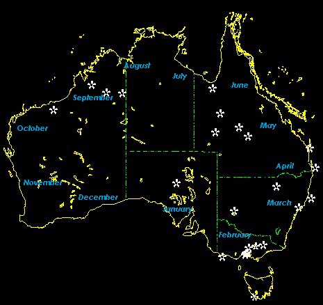
MAP
Well
nearly a map. This map will be updated as we go. It will show the circles that
our navigator leads us in and will truly reflect our planning capacity. If we
don’t come back in 12 months, I will blame the map.
You
will note the months are shown, well this is an indicator only of our plan and
timing. The white stars are points of interest we hope to go and there are
a few more to go on yet. The map software being used comes from http://www.auslig.gov.au/products/maps/ausunf/au_head.htm
and its not bad given it covers all of OZ on one CD.
Original
Bus Original high level plan as at 07/04/2000
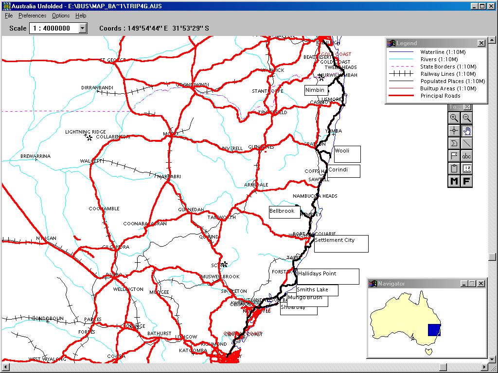
Updated
map show actual route as at 08/05/2000